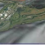
Cardiff University has been successfully using GeoVisionary within the MAREN2 project to accurately visualise large LIDAR data sets of water levels, coastal land forms and bathymetry, so stakeholders can assess the impact of proposed renewable energy schemes.
You are here: Home / Archives for floor risk

