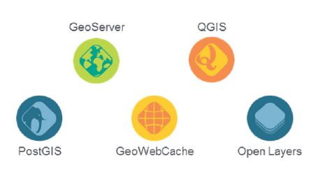
Some great questions have been answered in a recent blog post from the OpenGeo crew. The meaty article takes a close look at the OpenGeo Suite as well as a look at the individual, OpenGeo Components. For the non-developer type like yours truly, this is an excellent and must read if you think there’s any chance you might be considering a move to open source solutions in your mapping workflows.
From the article… all of the components of the OpenGeo suite are open-source software projects with a community of developers behind them.
- PostGIS – a spatial database extender for the PostgreSQL object-relational database. It adds support for geographic objects allowing location queries to be run in SQL (http://postgis.net/). TIP – see this video
- GeoServer – GeoServer is an open source server for sharing geospatial data (http://geoserver.org/).
- GeoWebCache – a Java web application used to cache map tiles coming from a variety of sources such as OGC Web Map Service (http://geowebcache.org/).
- QGIS – a free and open source desktop Geographic Information System (http://www2.qgis.org/en/site/) TIP – see this how to video
- OpenLayers – A high-performance, feature-packed library for all your web mapping needs (http://openlayers.org/)
While the specific open-source license for each varies slightly, they are all considered Free and Open Source Software (FOSS) applications without any license fees or royalties.
Great stuff! Continue reading the entire post HERE
More reading:
- See also this video playlist from FOSS4GNA for some valuable tips!
- A quick guide for new developers
[Tweet “Explaining Open Source Geotech and OpenGeo Components”]


