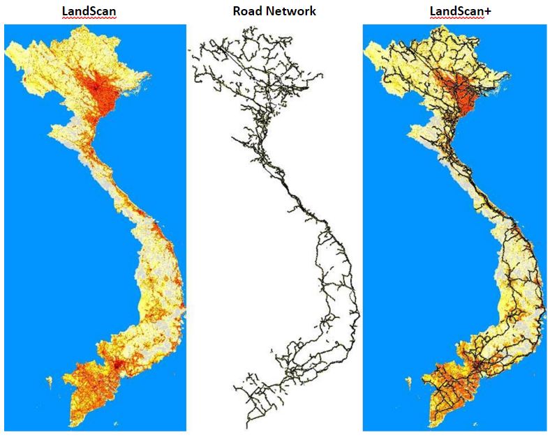
East View is pleased to introduce a new geospatial solution by combining authoritative infrastructure data with the LandScan Global Population Database.

LandScan Vietnam (left) and the Vietnam Road Network (middle) are combined to generate the LandScan+ image (right)
LandScan provides the most accurate and reliable ambient population data covering the globe.
LandScan+ is a new opportunity for GIS users to improve their ability to analyze the impact of conditions, surroundings and events on human population dynamics.
Since 1989, East View has acquired a vast archive of global maps and geospatial datasets* that can now be paired with LandScan population data.
Here is one example:
Vietnam 1:50K Topographic Vector Data
- Road Network
- Rail Network
- Power Utilities
- Hydro Network
- Cultural Sites
* These datasets were not used in the creation of LandScan, which is developed by the Oak Ridge National Laboratory.

