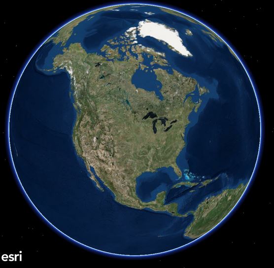
You may have heard a bit of buzz recently about something called ArcGIS Earth. You also may be wondering, what is it and what does it do?
Simply put, ArcGIS Earth is Esri’s response to Google Earth! With “Earth”, users can explore any place on Earth in 2 or 3D displaying a number of common data formats, including KML, SHP and other data from web services. Users also have the ability to view their own data, sketch, measure, and annotate – Think ArcGIS powered 3D Globe!
So, what else can you do with ArcGIS Earth?
- Display KML layers and shapefiles in 3D
- Connect to Esri RESTful services including feature, map, image, and scene services
- Use Esri basemaps and Living Atlas of the World content
- Save the view as an image and share it with others via email
- Measure, create placemarks and simple geometry, and more
ArcGIS Earth is part of Esri’s offer for Google customers and partners looking to transition to Esri software following the deprecation of Google Earth Enterprise.
ArcGIS Earth is available as a free download and requires Windows 7 and above – note, MAC is currently not supported
SEE MORE:
http://www.esri.com/software/arcgis-earth
Google Announcing deprecation of the Google Earth API
Note, a number of users and potential users have commented on the release of ArcGIS Earth in this post in our LinkedIn Group. Feel free to add your comments


