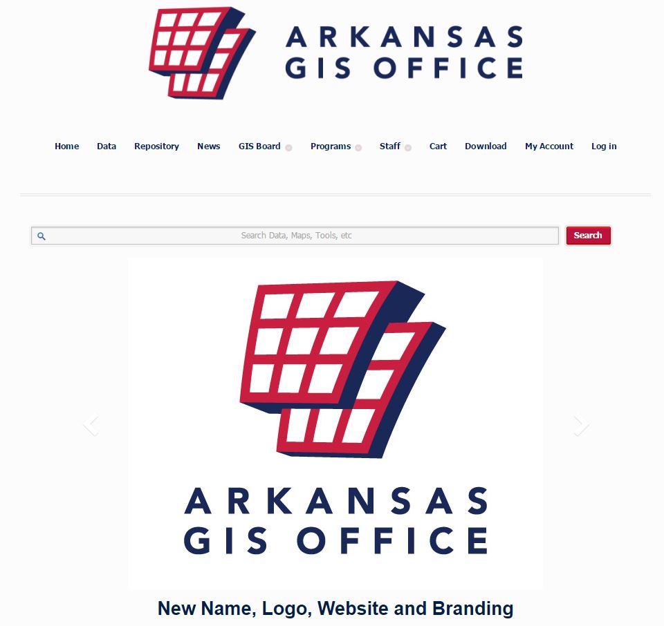
To kick off the New Year, the State of Arkansas has rolled out a shiny, new website for the Arkansas GIS Office
The new portal boasts a new name, new logo, new website, new branding! Find the GeoStor, printable maps, data downloads and much more
From the Arkansas GIS Team… On January 5, 2015, the Arkansas GIS Office launched its new website. This launch comes a bit earlier than anticipated due to the failure of old system hardware. As such, there may be a few kinks to work out. However, this launch is designed with every Arkansas GIS stakeholder in mind
This via the official team blog:
The site combines the previous pages (gis.arkansas.gov and geostor.arkansas.gov) into one seamless website. For the short-term, both URLs will redirect to this website, but eventually geostor.arkansas.gov will be replaced by gis.arkansas.gov.
This website offers many new features:
First, the office’s name — the Arkansas GIS Office — and logo are updated. While most in the GIS community referred to the office as the “AGIO,” most from outside the GIS community refers to the office as the “GIS Office.” When it comes to educating non-GIS communities about our work – or to ask for project funding — it helps to have a name that decision makers already use. So, in an effort to communicate and coordinate with all stakeholders and industries, the name and logo changed.
Second, all communication from the GIS Office is accessed from the main homepage. Any news, uploads, or any other GIS communications will be found right here.
Third, the new website is responsive. This means that the website is mobile-friendly and will work on any smartphone or tablet.
Fourth, the Arkansas Spatial Data Infrastructure (ASDI: previously known as “GeoStor”) data is accessed here on this site. Simply type a search term into the search bar to view the results, or view all data sets by category by clicking the “Data” button on the toolbar. There are a few new features that are worthy of note:
See http://www.gis.arkansas.gov
Follow on Twitter @ArkansasGIS
Note: The frontend is powered by WordPress and can be downloaded via GitHub for personal or commercial use: https://github.com/ArkansasGIS/ArkansasGIS-WP

