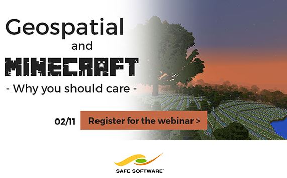
Top organizations are using Minecraft for real-world geospatial scenarios. But why? And how? Join us as we explore actual customer examples to find out.
Join us as we look at actual examples: from rapid design prototyping, to increasing citizen and youth engagement, to helping urban planners create the perfect city block. We’ll also show how you can integrate your GIS, CAD, and BIM data sources with Minecraft in an automated way. Game on!
Safe Software WEBINAR – Feb 11
Geospatial and Minecraft – Why You Should Care
Top organizations are using Minecraft for real-world geospatial scenarios. But why? And how? Join us as we explore actual customer examples to find out.

