On June 10-12 in Vancouver, B.C., Safe Software held their International User Conference (the previous event took place 5 years ago).
Sadly I had to miss the first day of the conference which featured special keynote presentations from Esri and OpenGeo… no worries though as I quickly got into the feel of the event on Day 2 which kicked off with award presentations to the FME answer board phenoms, rock stars and ninjas! These folks have made stellar contributions to the FME user community! The crowd enjoyed the special recognition given to these power users and it was evident that these guys really enjoy working with the Safe staff and their solutions. The awards were then followed by the keynote presenters of the day, Robert Bray of Autodesk and and Brad Skelton, Hexagon Geospatial.
Bray, the product manager with Autodesk’s Infraworks 360 modelling and visualization product (see http://www.autodesk.com/products/infraworks-family/overview) ran us through how Autodesk is really tackling the 360 design and visualization market, a segment that also relies on imagery, 3D data, and perhaps most important for the GeoTech folks in attendance, LiDAR point cloud data. Bray was really “hot” on the technology and excited to share that the future of infrastructure planning and preliminary engineering is a $36 trillion industry with a bright future – the challenge is addressing the massive volumes of data that are often locked up inside data silos… enter Safe Software and FME!
Brad Skelton, CTO at Hexagon Geospatial provided the second keynote and like Bray before him, used impressive 3D data visualizations and numerous examples of designs that relied heavily on massive datasets including LiDAR and point cloud data. Skelton commented how Hexagon solutions are fusing the real and the digital world and the market is expanding rapidly due to a growing number of data sensors (the Skybox sensor is even gathering video from space). Users want simple, intuitive tools and perhaps most important, a Good UI! Designers and analysts turn to Hexagon for powerful modeling tools, fast, distributed processing but commented how the data deluge requires efficient data management tools and effective data delivery tools and solutions. Disk space is an issue, tiling is complicated and disk intensive, and real cost savings are being found in the cloud. Hexagon continues their relationship with Safe Software to partner on solutions and components/transformers that will benefit their user community.

Loads of presentations for the attendees
The rest of the day was all about the users and attendees and myself were treated to a number of user presentations that showed off a number of ways that the tech community is using FME in their workflows. Here’s just a sampling of the fine presentations made by the clever FME users:
Exactearth marine vessel monitoring using 5 satellites. The challenge… millions of messages and how to efficiently decode and transform, store, and use data. Using FME, recall FME 2014 now supports NMEA AIS data, the data are managed and processed quickly and efficiently. This via connections via tcpip, transforming to 325 different data formats, while leveraging automated workspace runners that repeat 5,000,000 times a day – see more on exactearth shipview at exactearth.com
FME powers the CKAN open data portal – Presented by Mark Laudon of the City of Surrey, BC, Laudon impressed us all in his description of how the city is using open source tools and other clever solutions to connect the entire city org and the community. He noted how CKAN is a completely open source run web based system, streamlines publishing, sharing, finding and using data. Surrey uses CKAN for data preview, analysis, and social interaction – see data.surrey.ca – It was cool to hear just how FME powers CKAN server and data download services – Think download any dataset in any format for any area AND what u see is what you get!
FME in a Danish municipality, Tue Nilsson Poulson schedules FME jobs for downloading WFS data and downloading data from FTP. He commented how they also can write to CAD files and uploading them back to the servers via ftp and process automated raster image classifications. He offered up in humor a funny tip how they will often try almost anything with FME first because it’s such a fun program to use! Poulson shared that feature merger is your friend!
BC coroner service had the crowd mesmerized with interest as they shared how their GIS team uses geospatial technology and geo processing for identification tasks and disaster response projects. This was a real treat as we received an inside look at their data analysis, typically shared only with insiders and law enforcement. The presenter, Randy Dlit has worked in the past on the PEP program, Vancouver Olympic games security, and other high level projects. The team and experts analyze death cases in an effort to identify the deceased and the classification of death, this either by accidental, suicide, natural cause, homicide and in 2011 investigated 7828 deaths. They currently have 186 unresolved cases and a particularly interesting case was the effort to resolve the mystery surrounding feet (yes feet inside shoes) that were washing up along the BC coast! BC is the only province with a DNA database and is now rolling out to the Federal government nationwide. The system pulls from 4 provincial databases into central DBFME generates esri geodb and KML outputs
Google worked on crisis mapping team (org) worked with crowd sourced data to develop a crisis map for Calgary flood, generating 300,000 hits on the service for real time updates and layers showing service and utility availability. Business, government, and private folks coming together to share data where the main challenge was interoperbility issues – using FME interoperability, usability, and scalability issues are address and resolved. According to the speaker, Adam Evans, Google enterprise Canada… "maps are the next document type…" this is how people want to consume data/info. Evans went on to share how NYC used google maps engine plus FME, to develop a webmap within a day with real time data and access to opendata – opendata needs to be dynamic and accessible and then ultimately, findable – enter google maps gallery with a mandate to make data discoverable and available – enter Google earth engine… analysis is the next critical frontier (eg. U Maryland global forest canopy loss). Users can not only view data, like a global cloudfree map, but can also perform analysis like NVDI for climate change purposes. Google has acquired skybox, because it should help with the goal of relevant up to date information to google maps. Also interested in it for bringing Internet access to challenged places and also disaster relief.
Mark Ireland for the Weather network described how real time lightning strike alerts are detected for the weather network. The reason for this is because Ireland pointed out that lightning detection is crucial for public safety and that they result in 10 deaths a year, 4000 forest fires, hundreds of power outages and are actually very frequent in Canada 2-3 million strikes per year or 1 strike every 3 seconds in summer! FME is used in the public detection system that warns people of nearby danger events. Required is a notification then action. They’ve created solutions that listen for a strike, write to postgis, perform spatial processing and other logic, develop a custom jSON message then dispatch the message. The challenge is that there is a very large amount of real time data – they’ve tested 50,000 strikes per second in a cross platform dev environment for iOS, android, and MS.
Robert White of Whitestar discussed how his company converts old maps for the oil and gas industry using fme server to price and deliver custom datasets… His initial problem was that they were a data vendor using a manual process, having large data holdings much with frequent refresh. They needed the following: a simple website, cloud enabled, repeatable, heatmap functionality, scalable. White commented, “I bet the success of my company on the success of Safe.”

After a couple of days of presentations, attendees were treated to a fabulous social event at Science World
The presentations were interesting and varied, the users were passionate and eager! Most of all, I found it very interesting how Safe had customers/partners from Esri, Google, Autodesk, and Hexagon to share their stories and how crucial the FME software is in their business – definitely impressive!

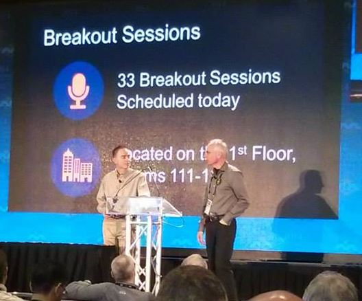
Don Murray (R) and Dale Lutz (L) on stage
In a bit of a teaser, Don Murray shared a few comments and snippets of FME 2015 and beyond: (note: these items are not necessarily guaranteed but are on the “list”)
- Coming is sharepoint support
- IFC writing for the BIM side
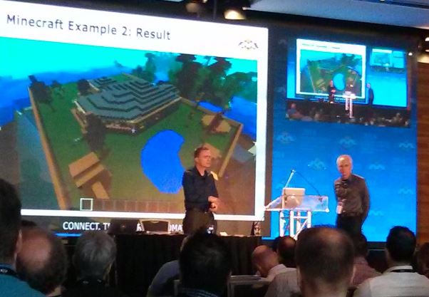
- 3D models from sketchup out to minecraft
- PDF pageformatter Transformer
- Time management and time rollback to get back to your week previously in time
- FME server interface will completely change
- More support for cloud, dropbox, box, Google, etc…
- FME desktop workgroup along with enhanced cloud management and sharing central work repository

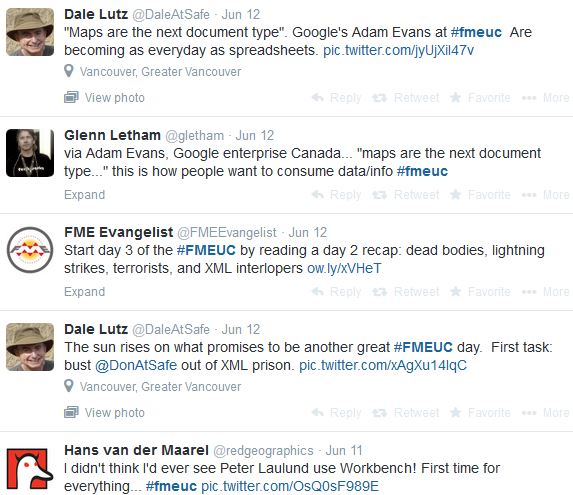
Tweets from FMEUC
For more about the FMEUC I suggest the following:
- Search the Twitter hashtag #FMEUC
- Safe blog – Daily recaps
- FMEUC Don’s Reflections
- Dale’s Take on the week
- Photo Gallery from the Conference
Don and Dale did assure everyone that they would not have to wait another 5 years for the next user conference! You can stay informed about this and future events on the official website at http://www.fmeuc.com/ – presentation and keynote videos will be available in the near future.

The Vancouver Convention Centre, next to Canada Place is an amazing setting in the heart of Vancouver, B.C.
Thanks to Safe Software for hosting a fabulous event that was jam-packed with interesting content, full of very smart and fun people, and a great mix of users and business partners – well done! Note, Safe Software did provide yours truly with a free press pass to the event along with covering my travel expenses.

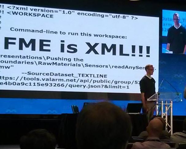
No doubt this would be Don’s favorite slide from the FMEUC!
