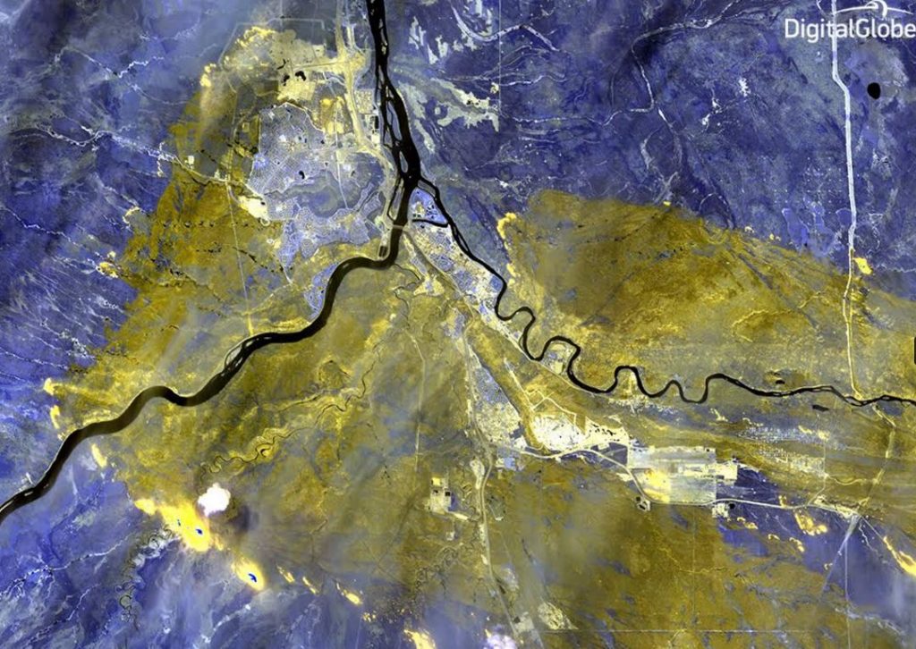
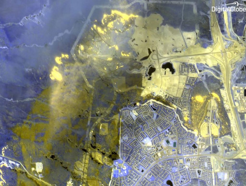
DigitalGlobe’s WorldView-3 satellite has captured images of the Wildfire in Fort McMurray Alberta Canada, see details below as shared by DigitalGlobe
Images courtesy DigitalGlobe © 2016
WV-3 has the unique ability to peer through smoke using shortwave infrared technology to see what areas have been burned by the fire and where the hot spots are – imagery analysts can even measure the intensity of the fire.
In these false-color images, the yellow areas are those that have been burned by the fire, the purple areas are healthy vegetation, and the bright spots are where the fire is actively burning.
Read more about DigitalGlobe’s support for the wildfire response on the DigitalGlobe blog.
Information on WorldView-3 and Shortwave Infrared (SWIR) technology:


